ThinkGeo Maps Imagery Data
ThinkGeo Maps Imagery Data is composed of:
- Multiple ECW files with the total size of 198G.
- Multiple truncated JPeg 2000 files with a total size over 7Tb.
Data Source
ThinkGeo Maps Imagery data comes from the following 2 sources:
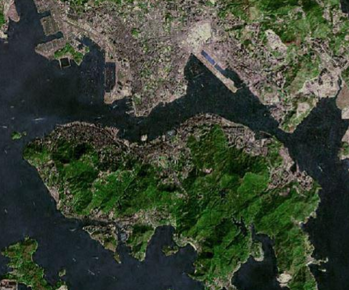
- LandSat which is data that covers the entire world with 15-meter resolution. It's composed of multiple ECW files and has a total size of 198G.
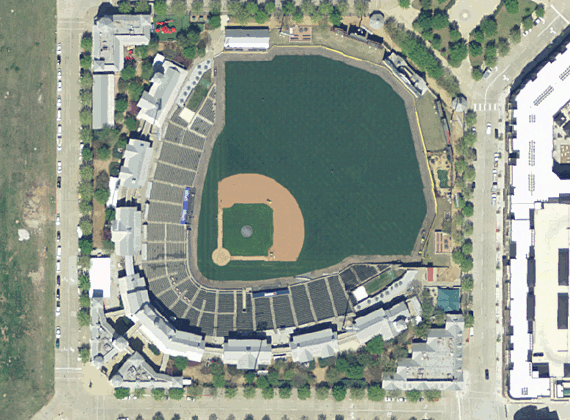
- NAIP 2018 which is data that covers the contiguous US (48 states) with 1-meter resolution. It's composed of multiple JPeg 2000 files with a total size over 7Tb.
The NAIP data are scheduled to be updated every 4 years.
Use the data in ThinkGeo Components
The data can be used in all versions of ThinkGeo Desktop and Web UI components. It can also be used in a 3rd party tool.
- Sample: Render an ECW image using ThinkGeo UI Component
- Sample: Render a JPEG2000 image using ThinkGeo UI Compone
- Sample: Render multiple rasters using ThinkGeo UI Component
Sample Screenshots
ThinkGeo Cloud Maps Raster Tiles is using the same dataset. Check out Online Samples and switch to Aerial mode to find out more.
NAIP Image: A baseball Field:
LandSat: Hong Kong: